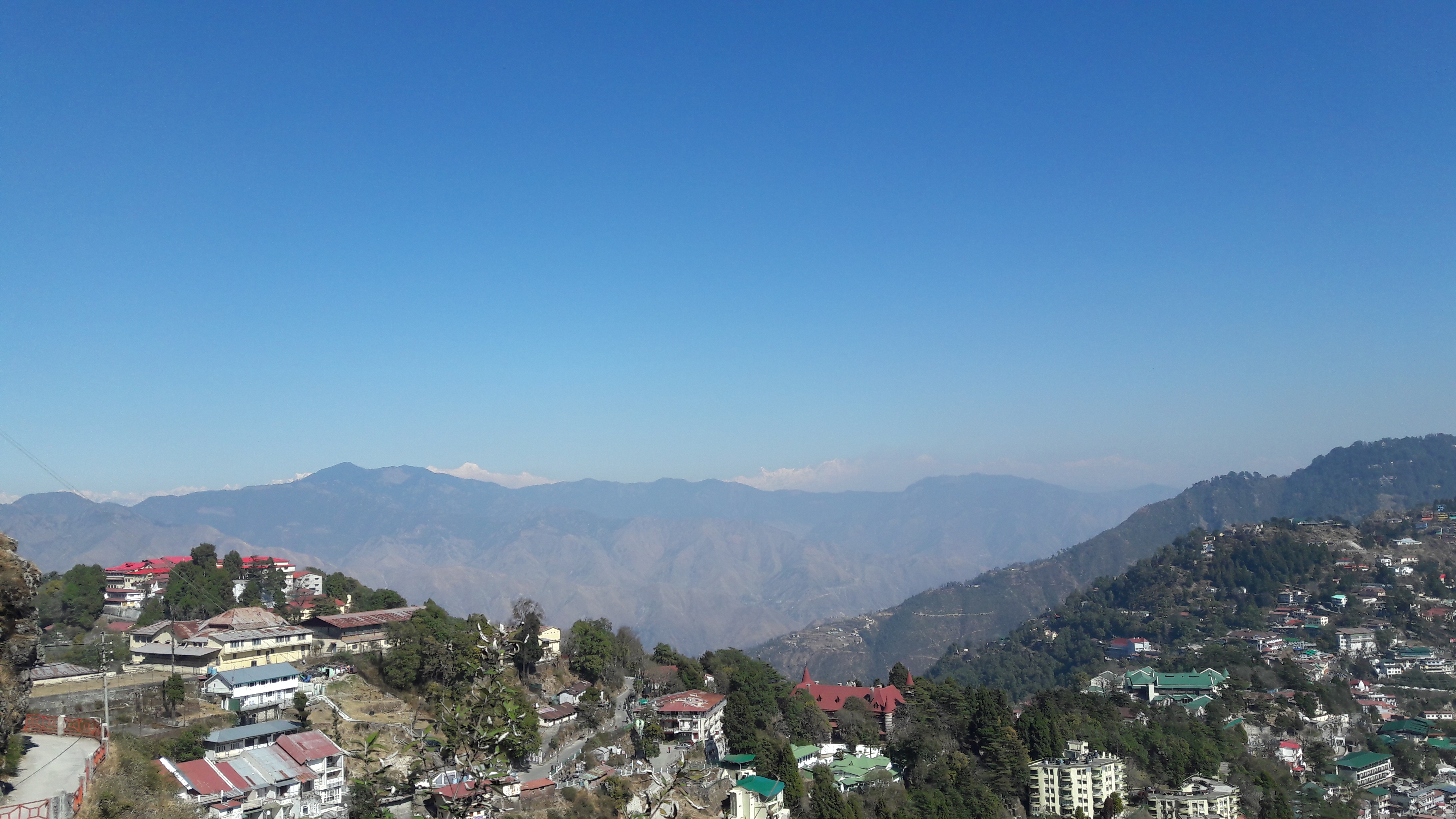
Uttarakhand

Field 1: The field trip aimed at identifying the major stratigraphic boundaries and lithounits along the Song river and the Kesarwala hill. The area is significant due to its proximity to the main boundary fault and neotectonic signatures. The field traverse started from IIRS to Raipur Junction and then along the Song river in the Maldevta region, including Kesarwala Hill and the area near Seraki and Lalpul Bhutsi. This portion of the Song river also follows the MBT (Main Boundary Thrust) thus marking the boundary between the Siwalik and the Lesser Himalayas.
Field 2: The field trip was to the active landslide location near Koti village. Along the way landslide indicators like hockey stick appearance in trees was observed. The landslide location was also instrumental in studying the lithological variations in the regional strata.